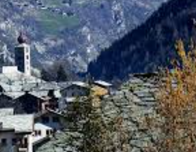
Matsand is not a dramatic name at first glance, which is exactly why it works so well in a St. Niklaus guide. It belongs to the lived-in geography of the valley rather than the poster version of it: a small settlement, low in altitude compared with the big peaks above, but strongly placed within the movement of water, paths, and mountain access that define the Mattertal.
The hamlet lies at about 1,230 metres on the right bank of the Vispa, north of Herbriggen and within the municipality of St. Niklaus. Set on a small meadow terrace, Matsand sits between the river landscape and the infrastructure of the Mattsand compensation lake. That combination gives the place a distinctive tone: part historic settlement, part working valley terrain, part threshold to bigger mountain ground above.
Why it matters
Matsand matters because it shows that St. Niklaus is more than a single village center. The municipality is made up of layers: valley settlements, chapels, old houses, engineering works, forests, side valleys, and then the long rising routes into the real alpine world. Matsand sits exactly in that layered zone, where everyday landscape and mountain logic overlap.
Historically, the sandy nature of the valley floor gave the place its name. Geographically, it also serves as a useful orientation point for routes heading toward Schwiedernen, the Weisshornweg side, and the approaches that eventually lead on toward the Topali area. Even when you do not treat it as a destination in itself, Matsand helps make the St. Niklaus terrain legible.
Mountain character
This is not summit terrain yet, and it should not be written as if it were. Matsand is more interesting for its transition character: water, woodland, hamlet structure, and the first sense that the valley can open into longer, more committed mountain lines. That makes it editorially valuable. It gives the St. Niklaus story texture before the route steepens and the altitude starts to dominate.
Altitude: about 1,230 m
Location: north of Herbriggen in the municipality of St. Niklaus
Setting: on the right bank of the Vispa beside the Mattsand compensation lake
Character: valley hamlet with strong links to the hiking and hut terrain above
Why go: to understand the lower-mountain geography that feeds the bigger St. Niklaus routes
If Bordier is about alpine consequence and Jungen is about elevation and perspective, Matsand is about structure. It explains how the St. Niklaus landscape is put together from the valley floor upward, and that makes it more important than its modest scale suggests.